
“Ensure Data Security, Quality and Planning of Water Distribution Network”
SAFRA-WDS is a framework to store, update and maintain the Geo-spatial data of Urban and Rural Infrastructure in Standard Format ISO-24516-1 and as per Amrut Guidelines.
Water Boards/ Urban Local Bodies and Gram Panchayats at village level can use SAFRA-WDS Framework to manage the data of water supply networks, sewer network, roads, drains etc. specific to District Metering Areas(DMAs)/ Zones/ Command Areas in a city/ village level Blocks in Jal Jeevan Mission (JJM). Smart City Development Corporations can have specific login credentials to upload, update and manage the data on centralized cloud platform for systematic storage and easy access for visualization/ presentation purpose.
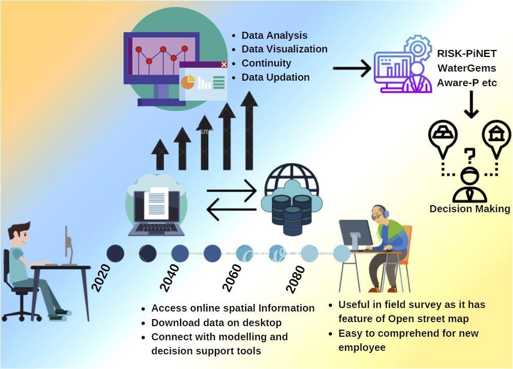
Corporations can download their data as and when required for analysis and decision-making purposes.
.png)
- Any corporation can register with CSIR-NEERI Cloud.
- Registered ULB have access to SAFRA-WDS Framework for storing and maintaining the data at the central place.
- City Commissioner is SAFRA-WDS In-charge and has access to visualize city-specific database.
- Executive/ Superintendent Engineer is SAFRA-WDS Admin & is Responsible for managing users and data about city.
- Field Engineers/ Zonal Officers are allowed to upload and manage the DMA specific data.

Say "Good Bye!" to Existing Issues

Administrative local bodies lack relevant and current information about the infrastructure.

Non- uniformity in data structure maintained by different organization.

Insufficient and dispersed data results in poor planning and implementation of reforms.
“It is better to solve one problem five different ways, than to solve five problems one way.” ― George Pólya