Standardize Database Framework for Water Distribution System (SAFRA-WDS)
TRL level:
Technology Demonstration (TRL-4)
Executive Summary/Description of the software
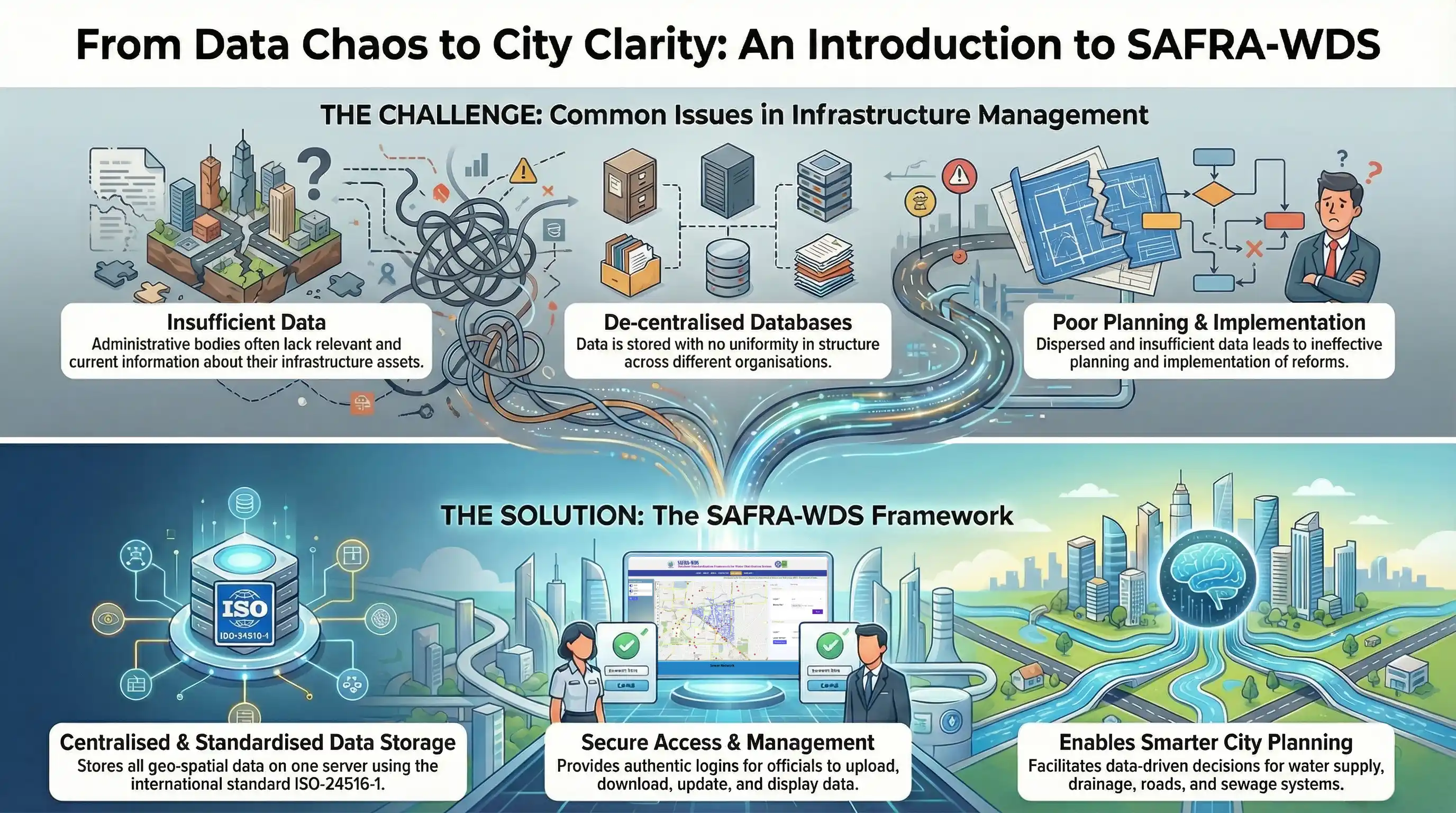
SAFRA-WDS offers a structured approach to develop a database for Water Distribution Systems, enhancing decision-making tools for system management. It systematically stores GIS maps of Water Supply, Sewer, Drain, and Road Networks for entire cities, with attribute data. Users can store, modify, and download data for each District Metering Area (DMA) for modeling and analysis.
Salient Technical features
Access water distribution system asset data anytime and from anywhere with required authentication.
The SAFRA-WDS portal is secured by SSL authentication.
Onboard data visualization and analysis are available.
Real-time updates of water distribution system asset information are provided.
GIS data format is compatible with dozens of water distribution system decision-making software like Water GEM, RISK-PINET, and Aware.
Problem being addressed/Application
The system enables systematic data management of assets, providing online access to infrastructure data for uploads and downloads, facilitating informed decision-making processes. Users can upload data using OGC compliance tools, ensuring compatibility and standardization. The system stores, updates, and utilizes data for future assessments of the infrastructure, ensuring a comprehensive and forward-looking approach to system management and development.